Vegetation Monitoring @ Mariner's Point
Category
Admission
- Free
Location
32°45'55.9"N 117°14'44.6"W
Summary
Description
Join San Diego Bird Alliance staff in tracking vegetation growth at the California Least Tern nesting preserves in Mission Bay.
The monitoring helps to inform enhancement efforts for the future to ensure that the habitat is suitable for nesting in the coming years. All while volunteers have to opportunity to build professional development skills by learning vegetation monitoring sampling methods.
Come prepared in close-toed shoes, long pants, hat, suncreen, etc. No previous experience is required, we'll go over the protocol together and provide all the tools needed.

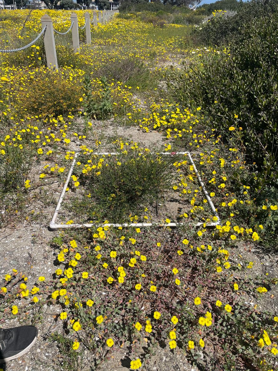
Example of quadrat vegetation sampling in South Bay
Event Start Time: 9 AM
Event End Time: 12 PM though you are welcome to leave as needed
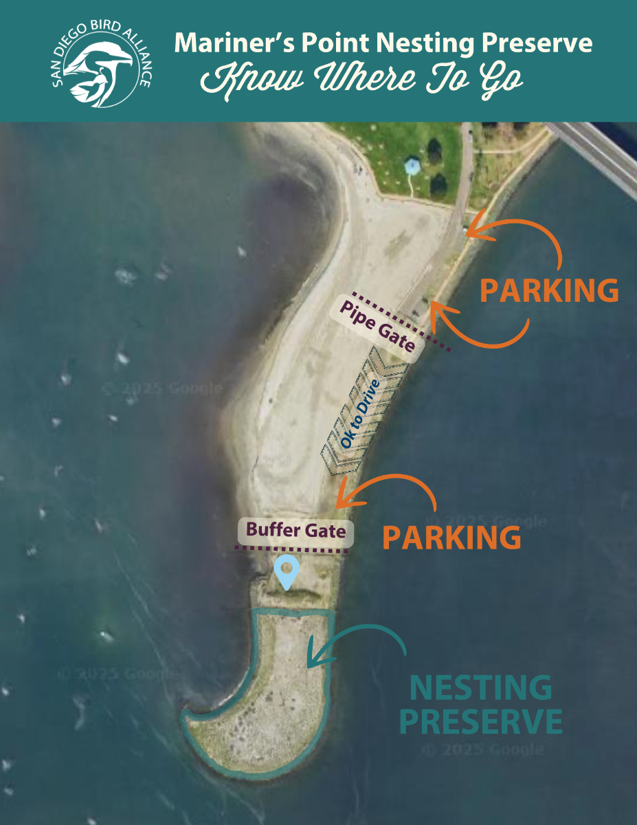
DIRECTIONS TO MARINERS POINT
The closest address to the nesting site is 1215 Mariners Way, San Diego, CA 92109.
the chain-link fence.

Learn more: Help save the endangered California Least Tern.